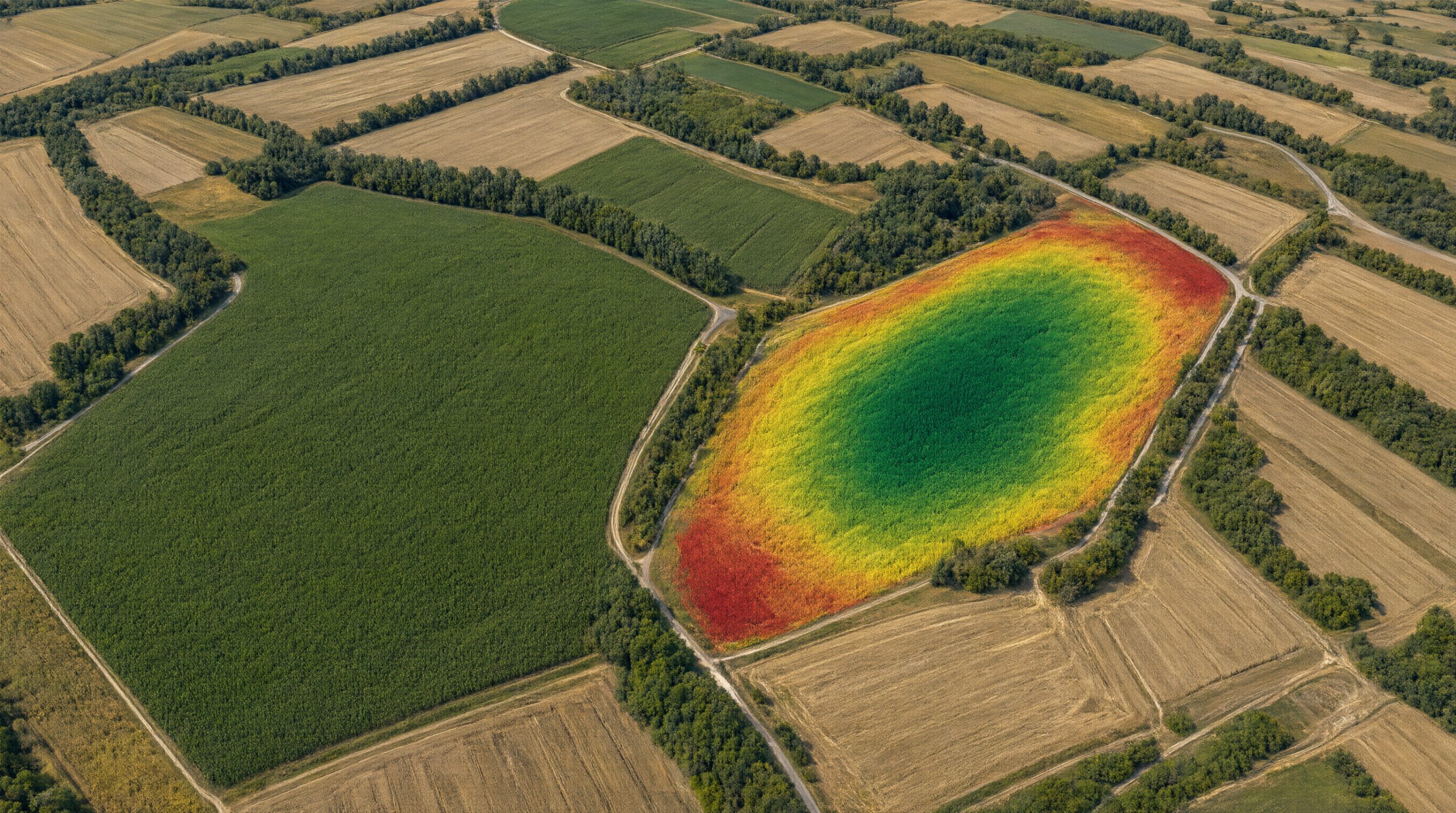

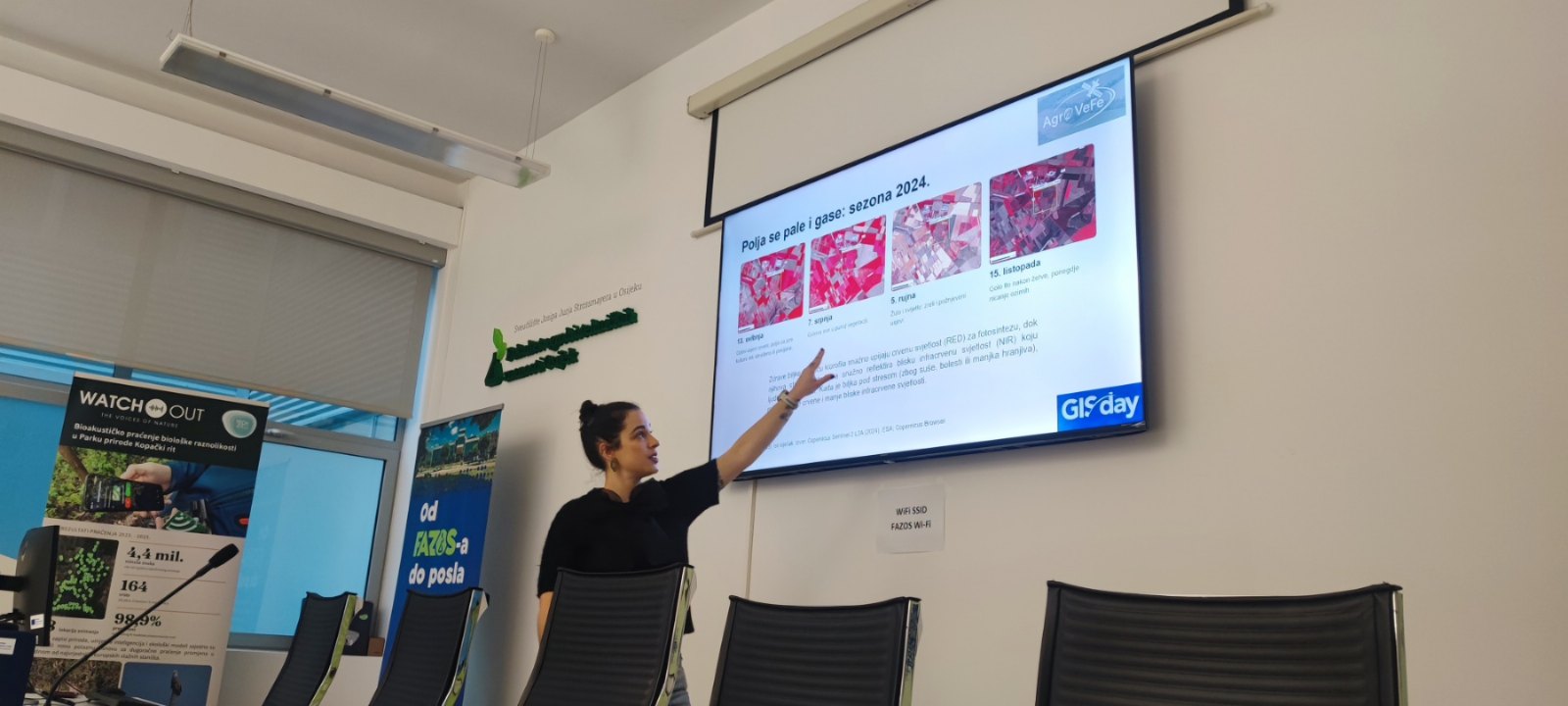
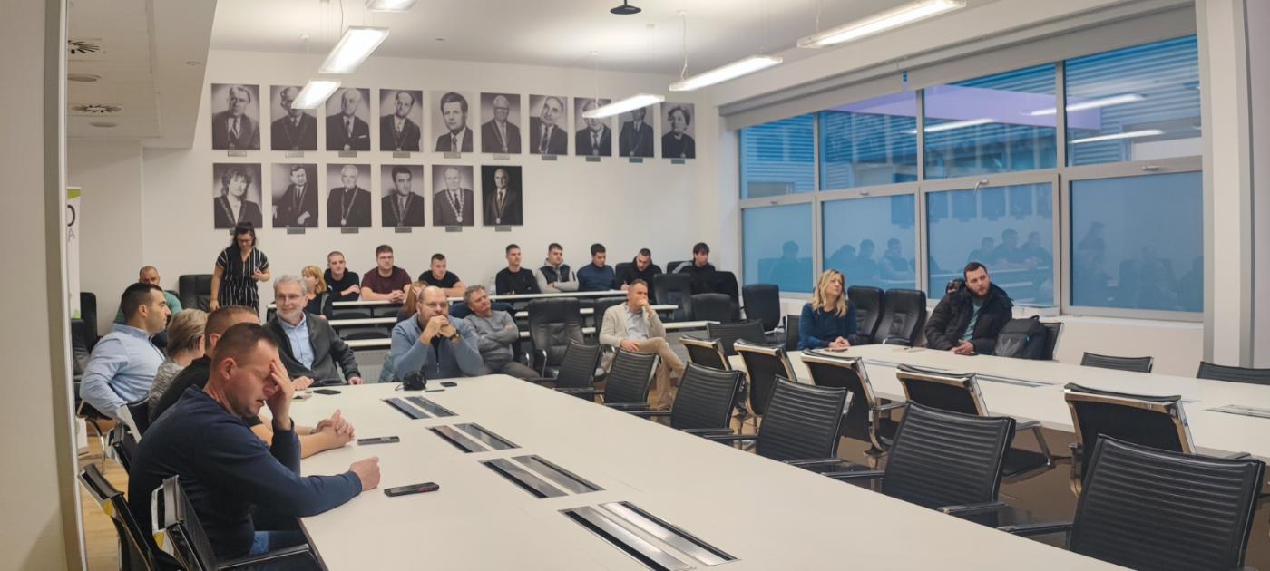
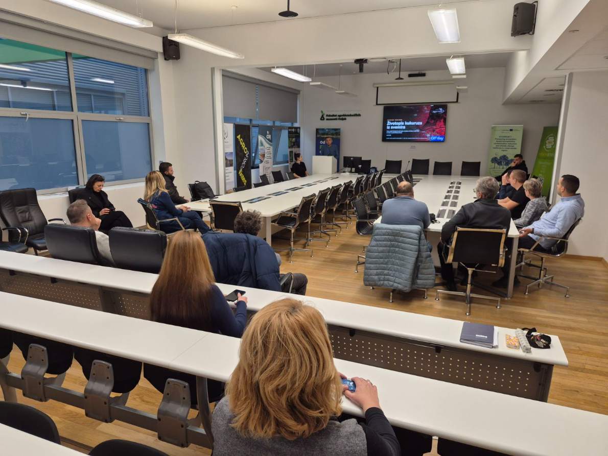
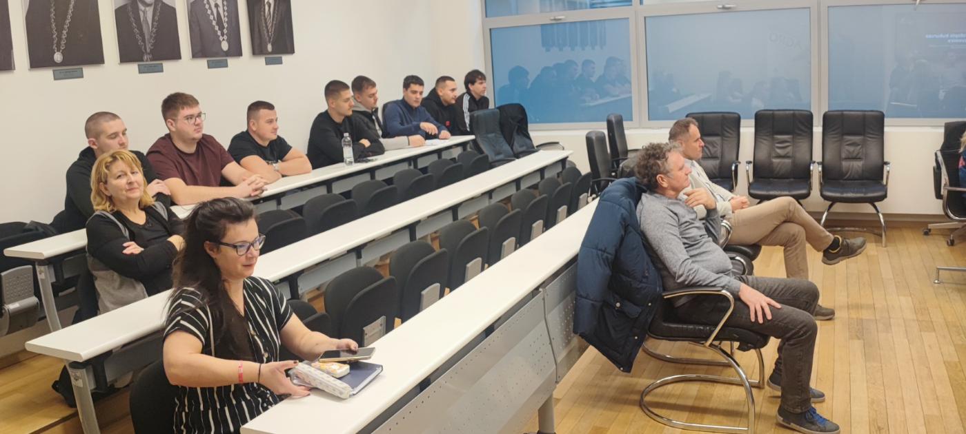
The AgroVeFe project marked GIS Day 2026 at the Faculty of Agrobiotechnical Sciences Osijek with a talk and workshop, “Life story of maize from space”. The workshop was held on Friday, 20 November 2026, in the Faculty Council Hall by Dr Lucija Galić of the Chair of Geoinformation Technologies and GIS, a member of the project research team. More than 50 FAZOS staff and students took part.
Participants saw how the Sentinel-2 satellite of the European Copernicus programme images fields in 13 spectral bands, with a 10 m pixel, every few days. The imagery is free and open. Using an image of Osijek from 7 July 2024, they compared natural colour, false colour and NDVI views. With images from the whole 2024 season, they followed how fields “light up” and “switch off” from May to October.
The core of the workshop was an example from the FAZOS experimental field in Tenja. On three blocks of about 2 ha within the same production plot, the satellite measured NDVI 36 to 37 times during 2024. Participants guessed from the NDVI curves which block was soybean and which was maize. The “life story of maize” was then summed up in four dates:
- sowing window: 15–30 April;
- rapid growth: 24 June;
- peak, with NDVI 0.85: 6 August;
- end of the green phase: 3 September.
Phenological metrics like these, together with vegetation indices, feed the machine learning models the AgroVeFe project uses to estimate maize yield potential. Read more about how a satellite “sees” maize in How a satellite sees maize.
The workshop is one of the AgroVeFe project’s science outreach activities.

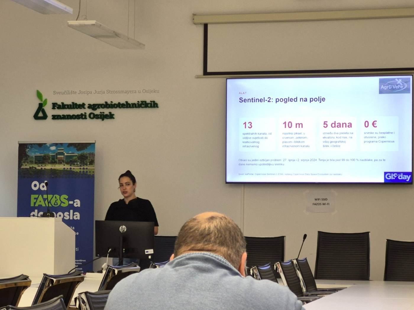
Satellite imagery: Copernicus Sentinel-2 (2024), ESA. Processing: Copernicus Browser and own processing.
The AgroVeFe project (581-UNIOS-30) is funded by the European Union – NextGenerationEU through the National Recovery and Resilience Plan 2021–2026.