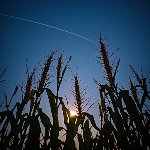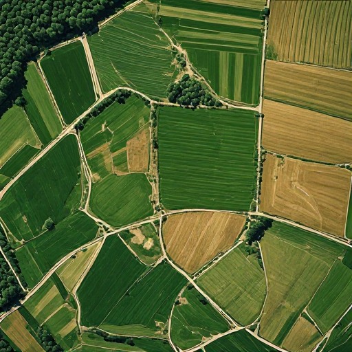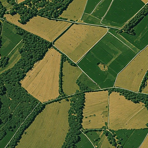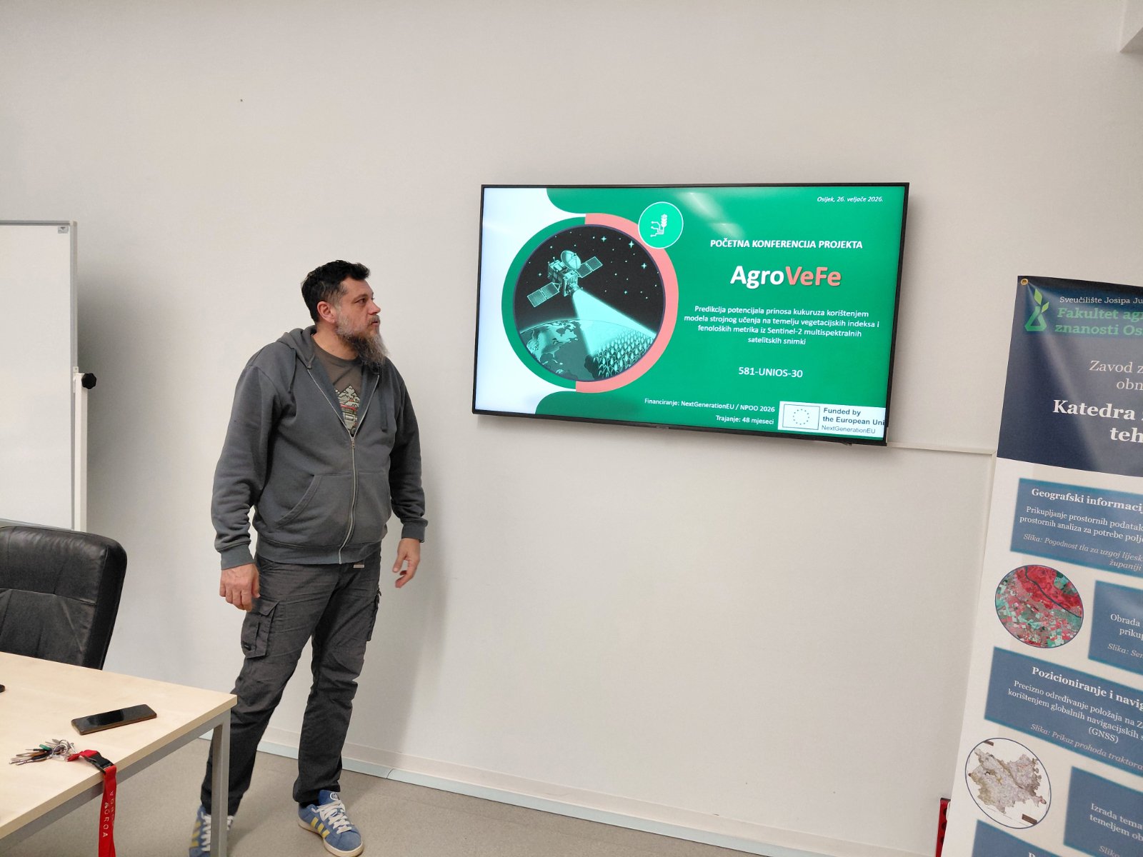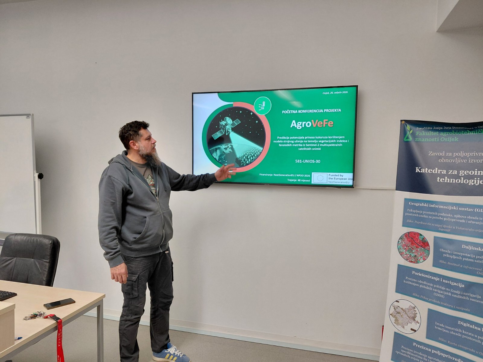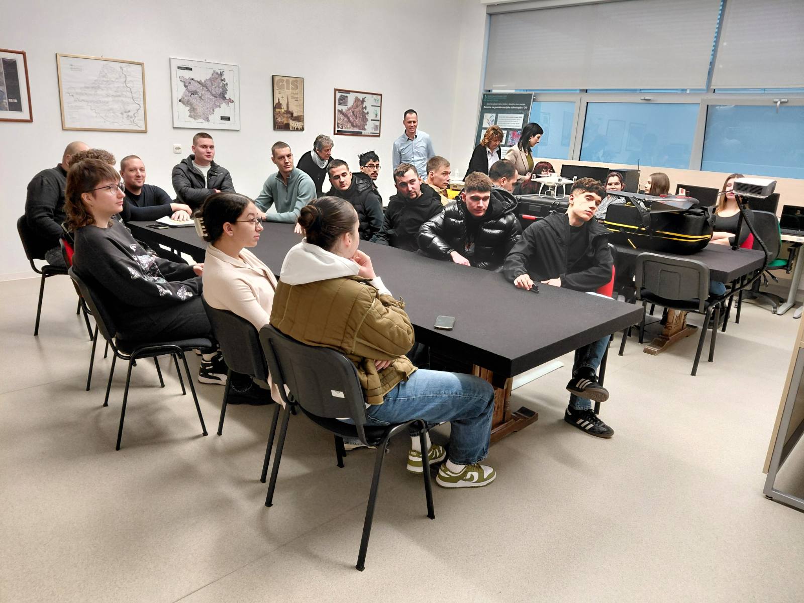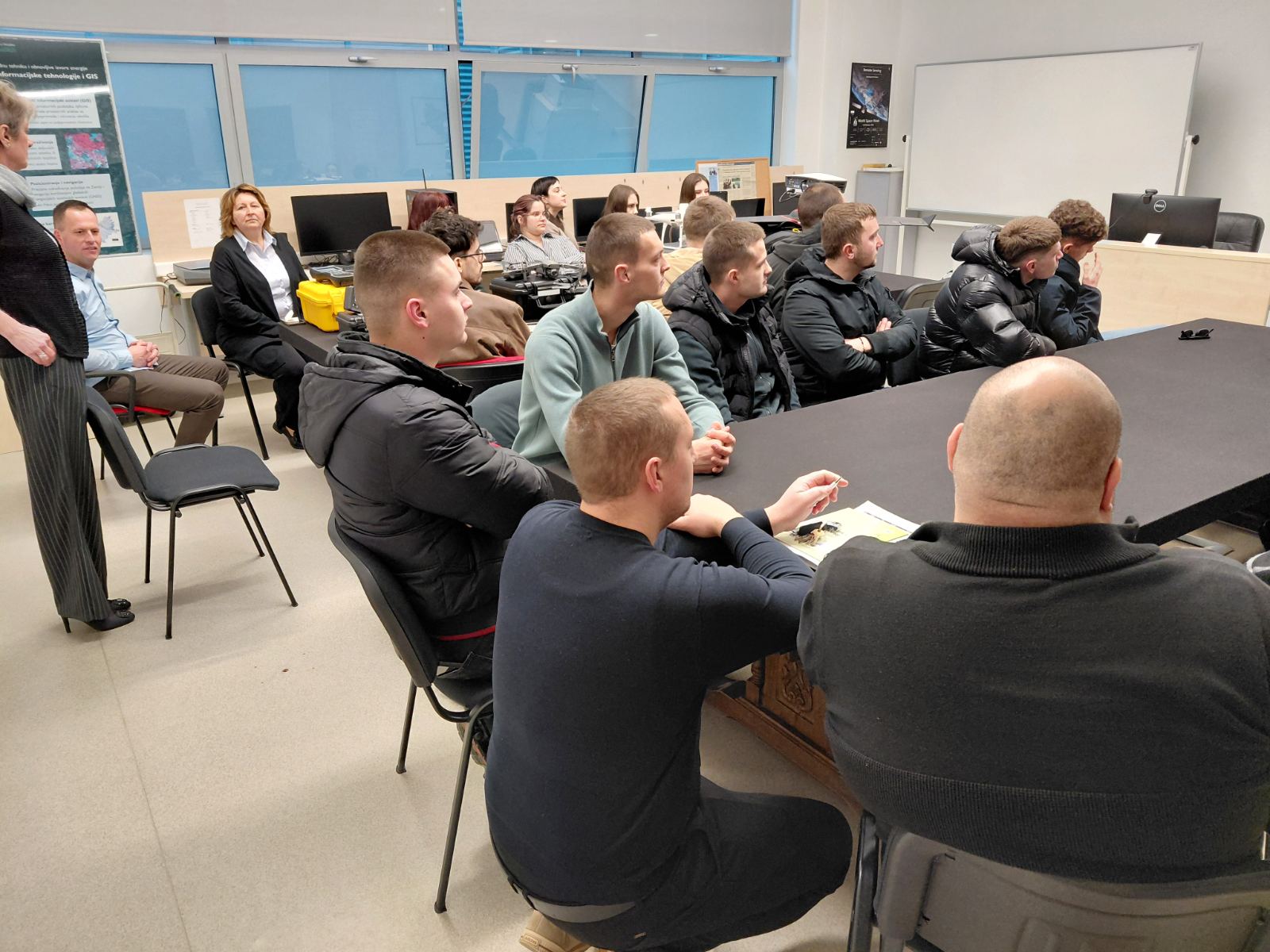

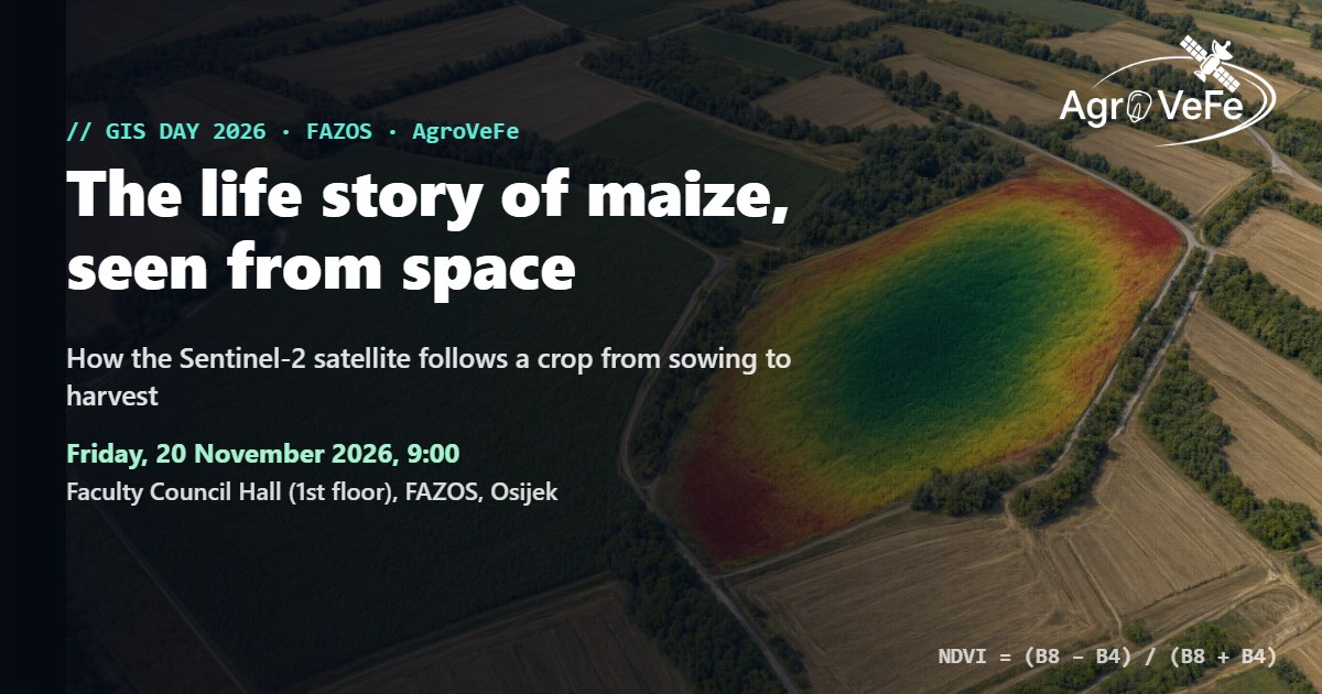
The AgroVeFe project marks this year’s GIS Day (GIS Day 2026) at the Faculty of Agrobiotechnical Sciences Osijek with a talk and workshop, “The life story of maize, seen from space”. The workshop takes place on Friday, 20 November 2026, starting at 9:00 in the Faculty Council Hall (1st floor), and is led by Lucija Galić, PhD, from the Department of Geoinformation Technologies and GIS, a member of the project research team.
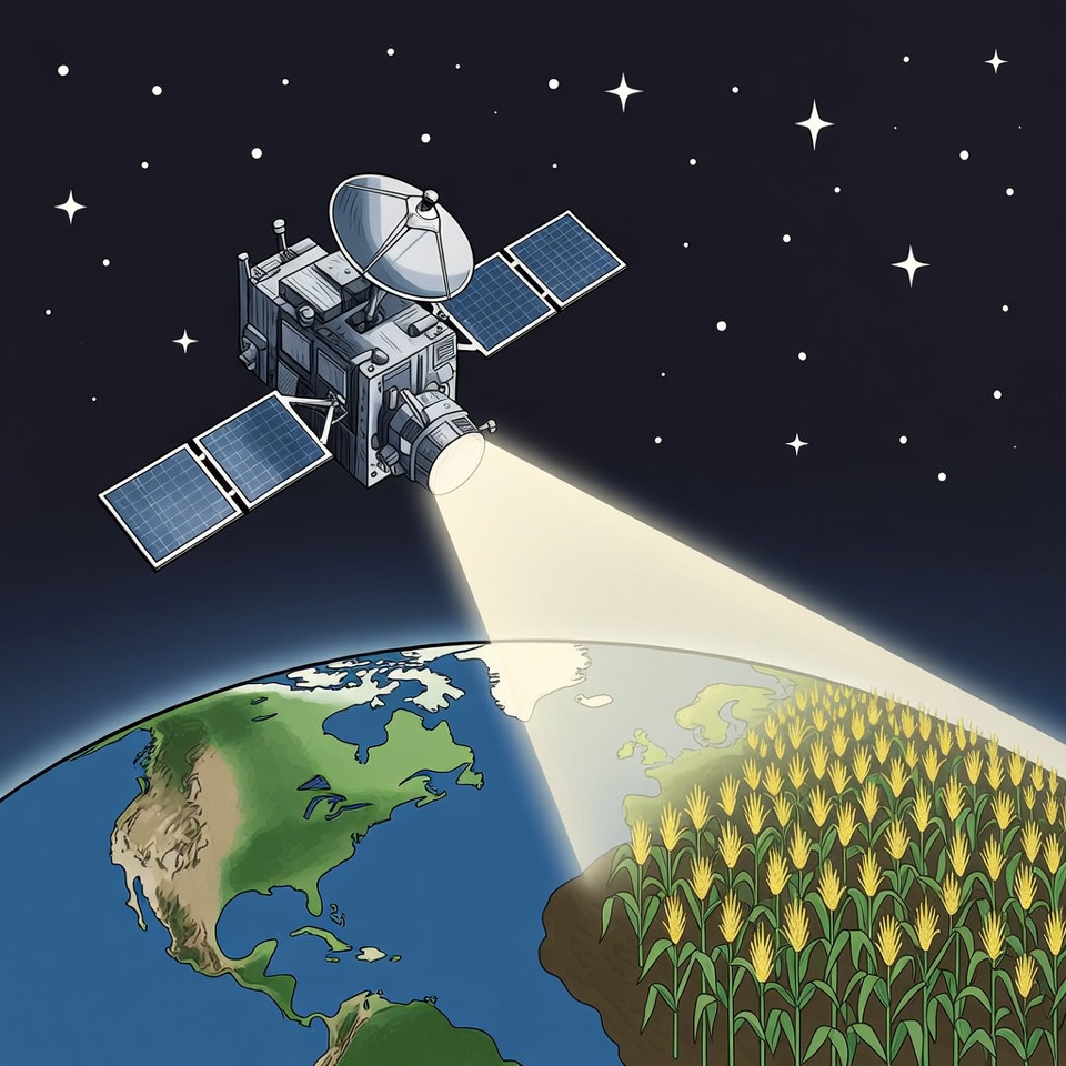
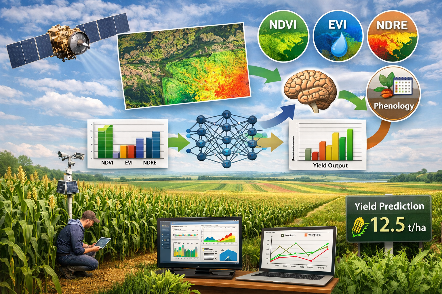
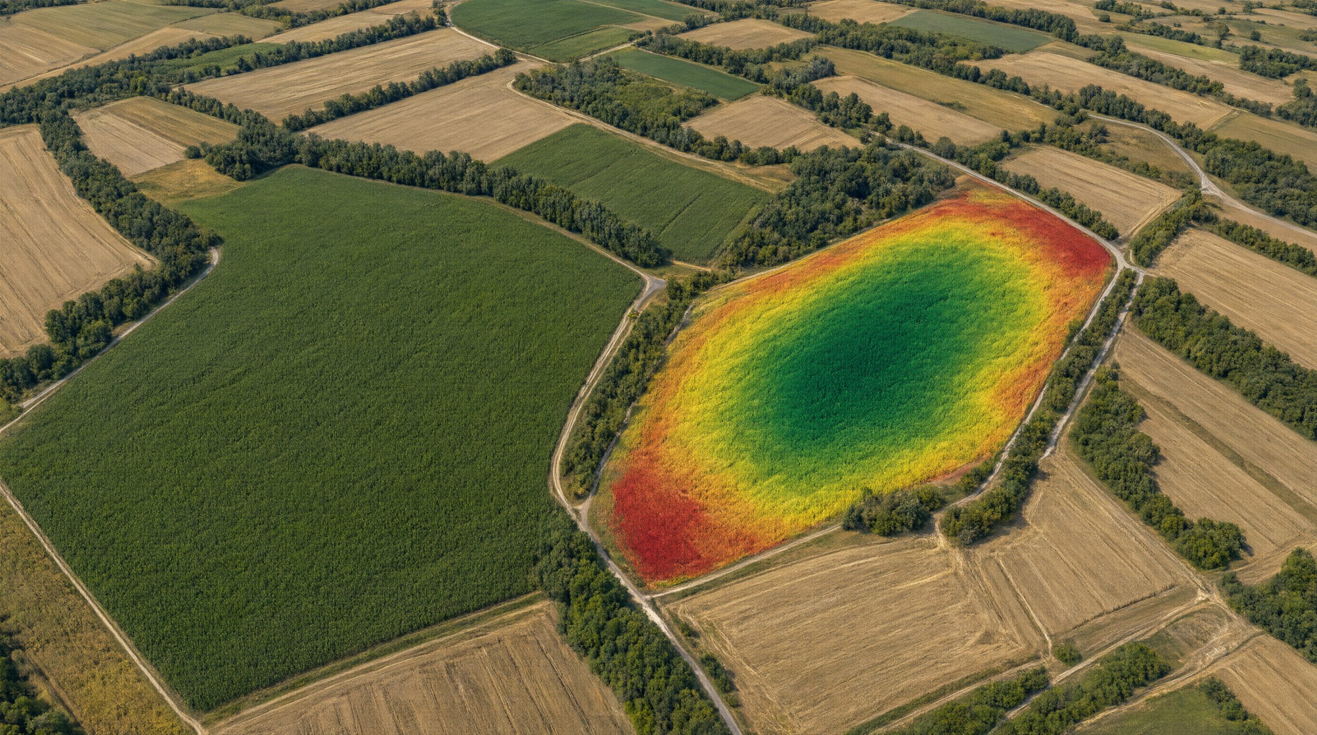
The topic is how the Sentinel-2 satellite of the European Copernicus programme follows a crop from sowing to harvest. Using production plots at the FAZOS experimental station in Tenja, participants will see how fields “light up” and “fade out” over the season, what the NDVI curve tells us about the crop, and why such data matter for predicting maize yield – the main goal of the AgroVeFe project.
NDVI, the Normalized Difference Vegetation Index, is calculated from the satellite’s near-infrared (B8) and red (B4) bands: NDVI = (B8 − B4) / (B8 + B4). The more vigorous and healthy the crop, the higher the value, and its change over the season reveals when the maize emerged, when it reached peak development and when it began to mature.
At a glance
- What: talk and workshop “The life story of maize, seen from space” (in Croatian)
- When: Friday, 20 November 2026, 9:00
- Where: Faculty Council Hall (1st floor), Faculty of Agrobiotechnical Sciences Osijek, Vladimira Preloga 1, Osijek
- Led by: Lucija Galić, PhD, Department of Geoinformation Technologies and GIS
- For: FAZOS staff and students
The workshop is one of the science outreach activities of the AgroVeFe project. Read more about how a satellite “sees” maize in How does a satellite see maize?
Satellite images on the poster: Copernicus Sentinel-2 (2024), ESA; processing: Copernicus Browser.
AgroVeFe (581-UNIOS-30) is funded by the European Union – NextGenerationEU through the National Recovery and Resilience Plan 2021–2026.