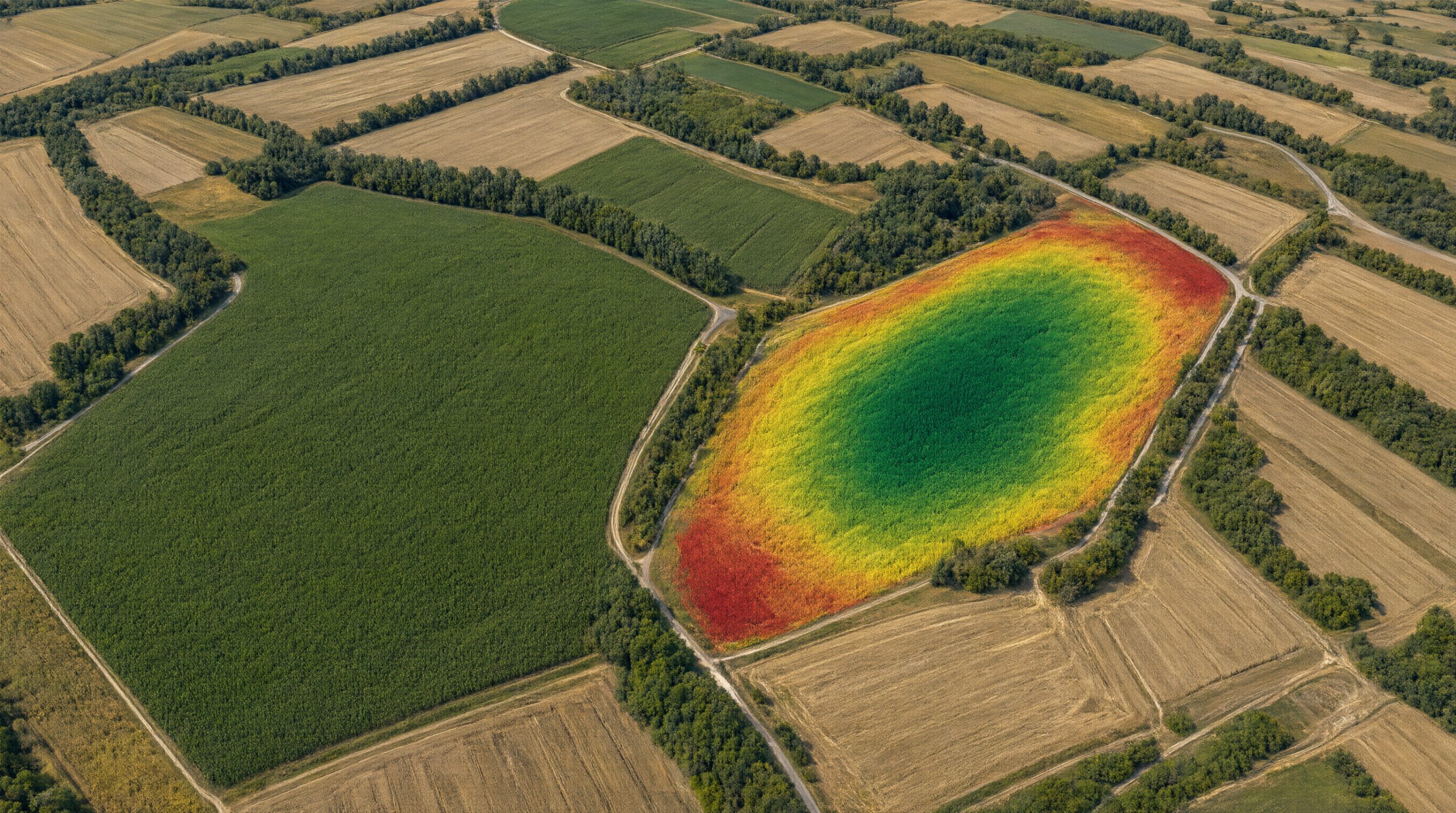

AgroVeFe develops maize yield potential maps from free satellite imagery. To build and validate the models we work with farms from real production, and we return maps of their fields to our partners.
What partners receive
- a yield potential map of their fields derived from Sentinel-2 imagery
- a soil electrical conductivity map with RTK GNSS accuracy (about 2 cm)
- ISOXML zone maps ready for variable-rate seeding and fertilisation
- invitations to project workshops and demonstrations
What we need
- maize yield data from a combine with a yield sensor, ideally from several seasons (2020–2025), or
- a field for testing soil EC scanning and zone maps
Data are used solely for research purposes under a cooperation and confidentiality agreement. Field testing is planned for the third and fourth project years (2027–2029). Contact: Prof. Ivan Plaščak, iplascak@fazos.hr
AgroVeFe (581-UNIOS-30) is funded by the European Union – NextGenerationEU through the National Recovery and Resilience Plan 2021–2026. Views and opinions expressed are those of the authors only and do not necessarily reflect those of the European Union or the European Commission. Neither the European Union nor the European Commission can be held responsible for them.