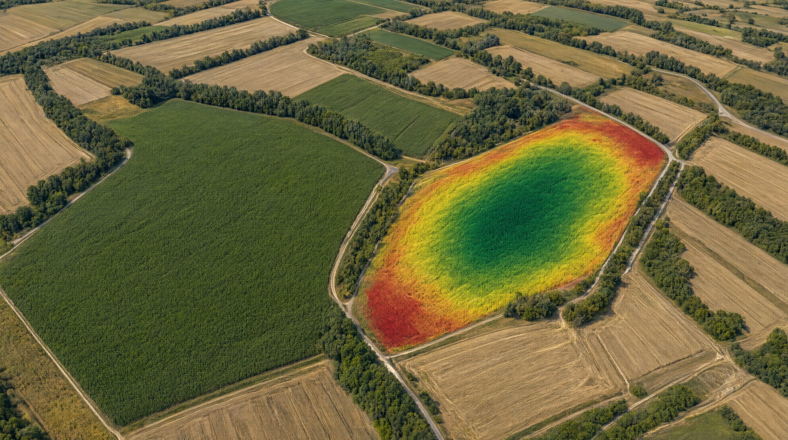

The Sentinel-2 satellite of the European Copernicus programme images every point in Croatia every few days, and the images are free for everyone. From the ratio of reflected red and near-infrared light, vegetation indices such as NDVI are calculated, showing how green and vigorous a crop is.
The problem is that at the peak of maize growth, classic indices “saturate” and stop distinguishing a good crop from an excellent one. That is why, in addition to NDVI, EVI, EVI2 and SAVI, the AgroVeFe project also uses four saturation-resistant indices: WDRVI, PPI, IDVI and NDVI3RE.
We also track crop phenology: when the crop emerges, when it reaches peak development and when it begins to senesce. Seven phenological metrics give context to the spectral data, so the model knows which growth stage the plant is in when the satellite takes an image.
In the first year of the project, the team set up automated downloading of Sentinel-2 imagery for 2020–2025 in Google Earth Engine, removal of clouds and shadows, and harmonisation of images to a spatial resolution of 20 m for three pilot sites in eastern Croatia. The availability of cloud-free images during the maize growing season proved satisfactory.
In the second year, the team will calculate all 56 combinations of indices and phenological metrics for each reference point and use them to train the first machine learning models.
AgroVeFe (581-UNIOS-30) is funded by the European Union – NextGenerationEU through the National Recovery and Resilience Plan 2021–2026.