
// NRRP research project · FAZOS · 2025–2029
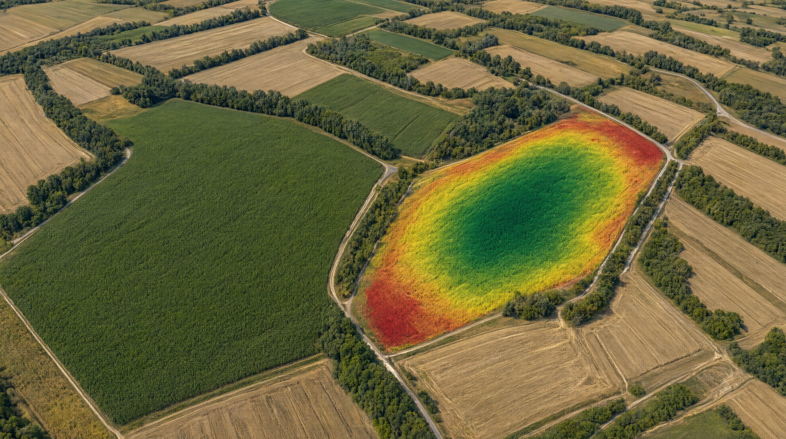
From satellite images to maize yield potential maps
AgroVeFe develops machine learning models that estimate within-field maize yield potential from free Sentinel-2 satellite imagery. The results are zone maps that agricultural machinery can load directly for variable-rate seeding and fertilisation – without expensive yield sensors.
11
scientific papers in the first year
56
combinations of vegetation indices and phenological metrics
6
seasons of yield data (2020–2025)
R² ≥ 0.7
target prediction accuracy
How it works
01
Satellite
Sentinel-2 time series from the Copernicus programme, cloud-masked and harmonised to 20 m.
02
Indices and phenology
Eight vegetation indices, including saturation-resistant ones, and seven phenological metrics of crop development.
03
Machine learning
Random Forest, SVR, Cubist and ensemble models, trained on precision-harvest data and rigorously validated.
04
Map for the machine
Yield potential zones in ISOXML format, complemented by soil electrical conductivity scanning with RTK GNSS.
Latest news
- GIS Day at FAZOS: workshop “The life story of maize, seen from space”
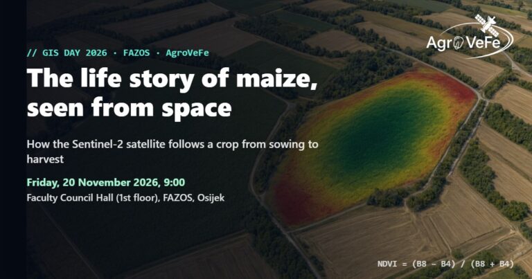 On Friday, 20 November 2026, at 9:00, the AgroVeFe project marks GIS Day at FAZOS with a workshop on how the Sentinel-2 satellite follows maize from sowing to harvest.
- First year of AgroVeFe: 11 scientific papers, including a Q1 paper on the project methodology
 In the first year of the AgroVeFe project (October 2025 – September 2026), members of the research team published 11 scientific papers acknowledging the …
- AgroVeFe establishes scientific cooperation with Belgrade and Banja LukaThe AgroVeFe project has signed two scientific research cooperation agreements: with the Faculty of Agriculture, University of Belgrade (Serbia), and with the Agricultural Institute …
Continue reading “AgroVeFe establishes scientific cooperation with Belgrade and Banja Luka”
Partners
The project is carried out by the Faculty of Agrobiotechnical Sciences Osijek (Josip Juraj Strossmayer University of Osijek, Croatia), in scientific cooperation with the Faculty of Agriculture, University of Belgrade (Serbia), and the Agricultural Institute of Republic of Srpska, Banja Luka (Bosnia and Herzegovina).
We are also looking for farms willing to share yield data or provide a field for testing – find out more. Contact: iplascak@fazos.hr
AgroVeFe (581-UNIOS-30) is funded by the European Union – NextGenerationEU through the National Recovery and Resilience Plan 2021–2026. Views and opinions expressed are those of the authors only and do not necessarily reflect those of the European Union or the European Commission. Neither the European Union nor the European Commission can be held responsible for them.