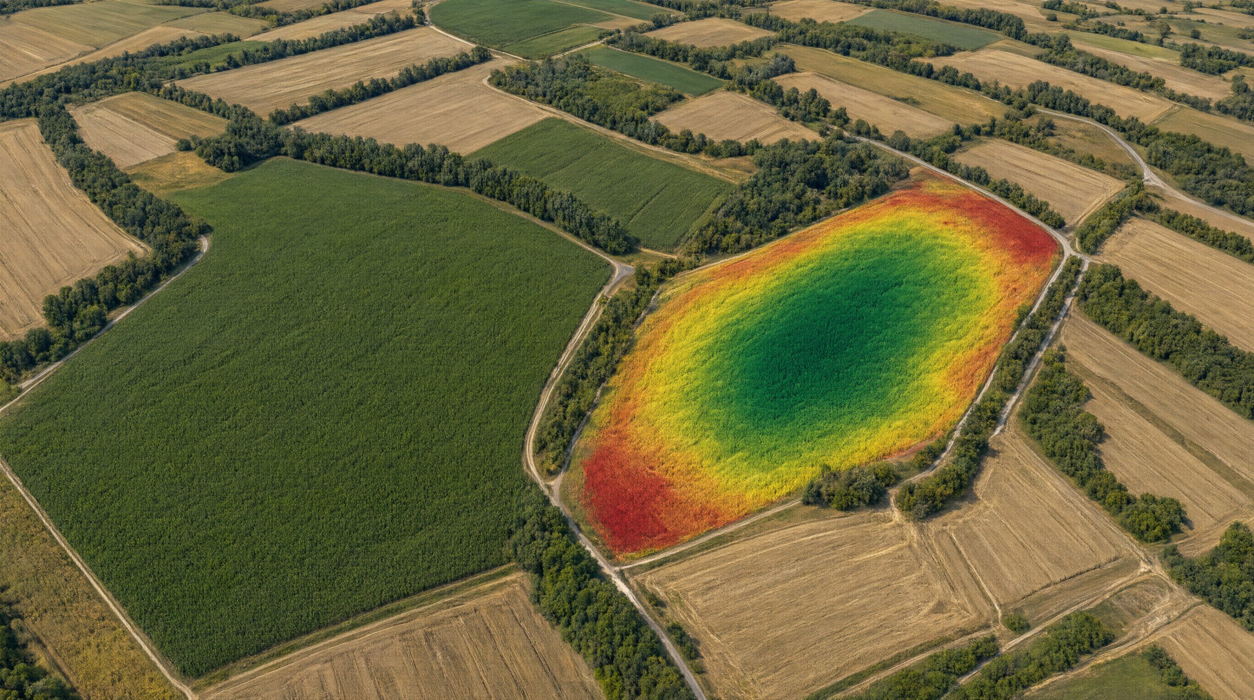

As part of the AgroVeFe project, the Faculty of Agrobiotechnical Sciences Osijek has acquired a Geonics EM38-4 system for non-contact scanning of soil electrical conductivity (EC), with an RTK GNSS receiver, field controller and software. The device has been delivered and put into operation, and team members completed eight hours of field training.
Soil electrical conductivity reveals differences in texture, moisture and salt content within a field, while RTK GNSS records the position of each measurement with a precision of about 2 cm. In the project, EC maps will be compared with yield potential predictions from satellite imagery to determine whether combining soil and satellite data gives more reliable zones for variable-rate application of inputs.
Audio-video equipment with editing software was also purchased to produce educational videos for students and farmers. All equipment purchased with project funds is labelled “Funded by the European Union – NextGenerationEU”.
AgroVeFe (581-UNIOS-30) is funded by the European Union – NextGenerationEU through the National Recovery and Resilience Plan 2021–2026.