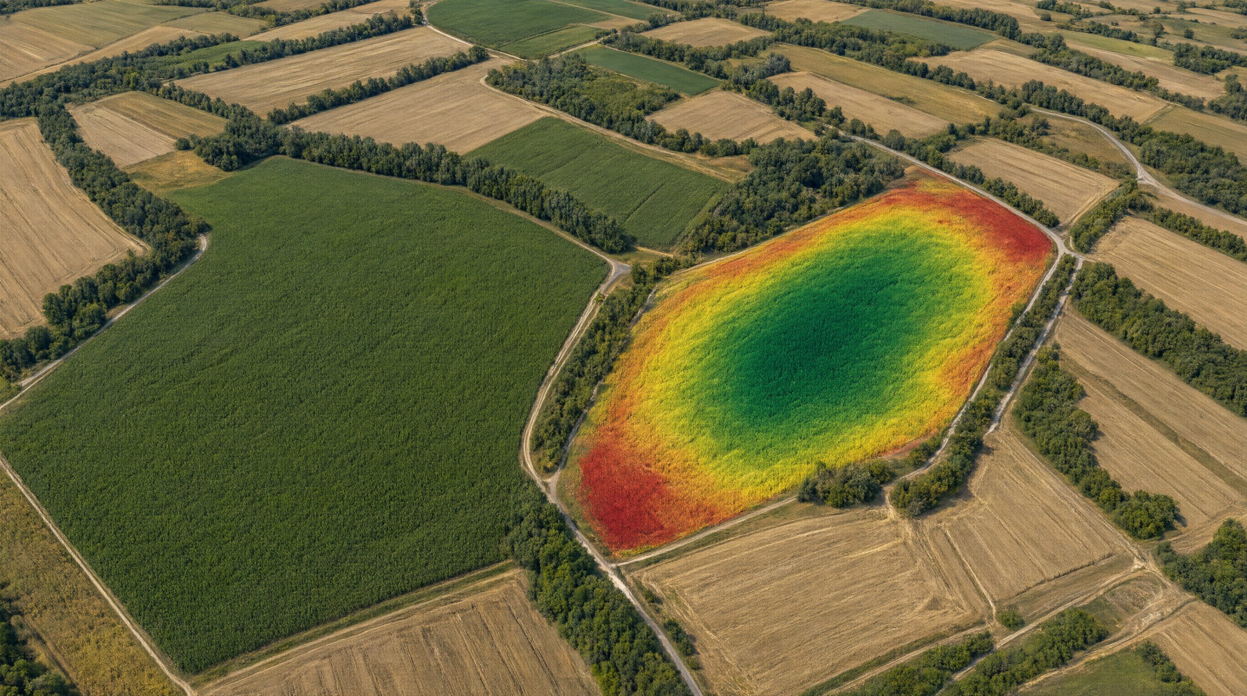

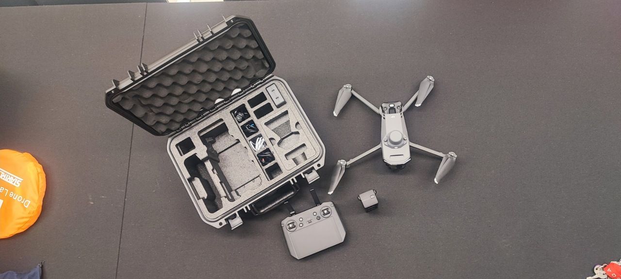
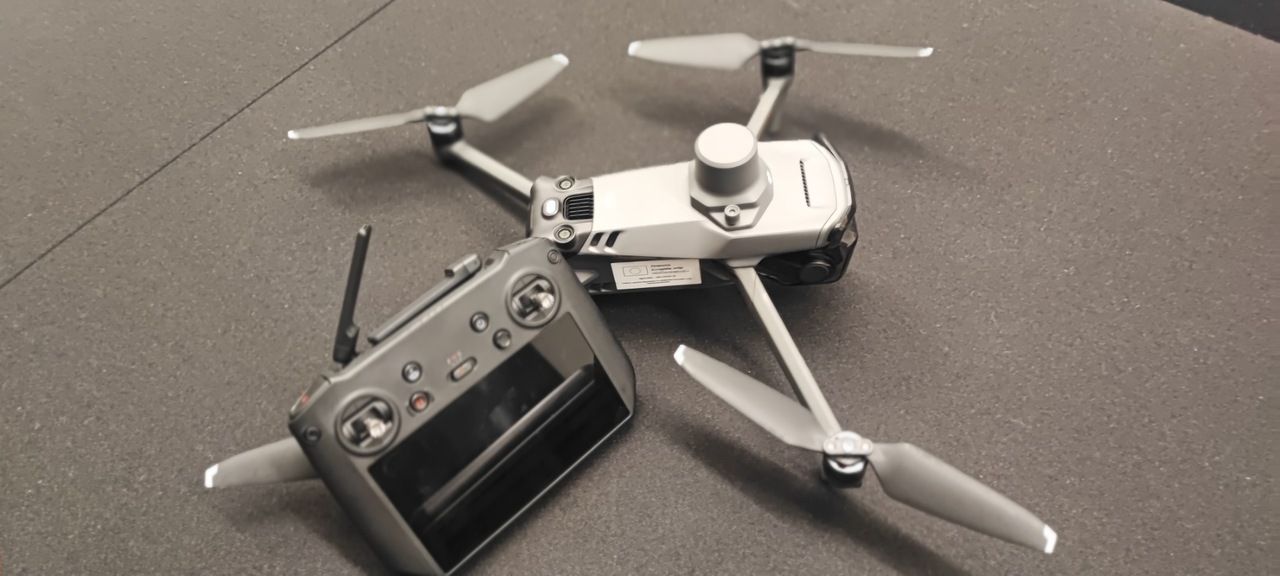
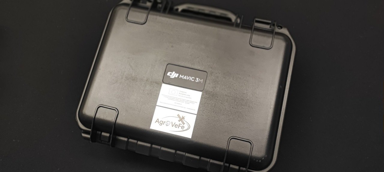
As part of the AgroVeFe project, the Faculty of Agrobiotechnical Sciences Osijek has acquired a DJI Mavic 3 Multispectral drone with an RTK module for centimetre-level positioning and a set of additional batteries. In addition to an RGB camera, the drone carries a four-band multispectral camera (green, red, red edge and near infrared) and a sunlight sensor, so its imagery can be used to calculate vegetation indices such as NDVI and NDRE.
In the project, aerial imagery will be used to validate vegetation indices calculated from Sentinel-2 satellite imagery on production plots and, together with soil electrical conductivity maps, to give a more detailed view of variability within each plot.
Like all equipment purchased with project funds, the drone is labelled “Funded by the European Union – NextGenerationEU”.
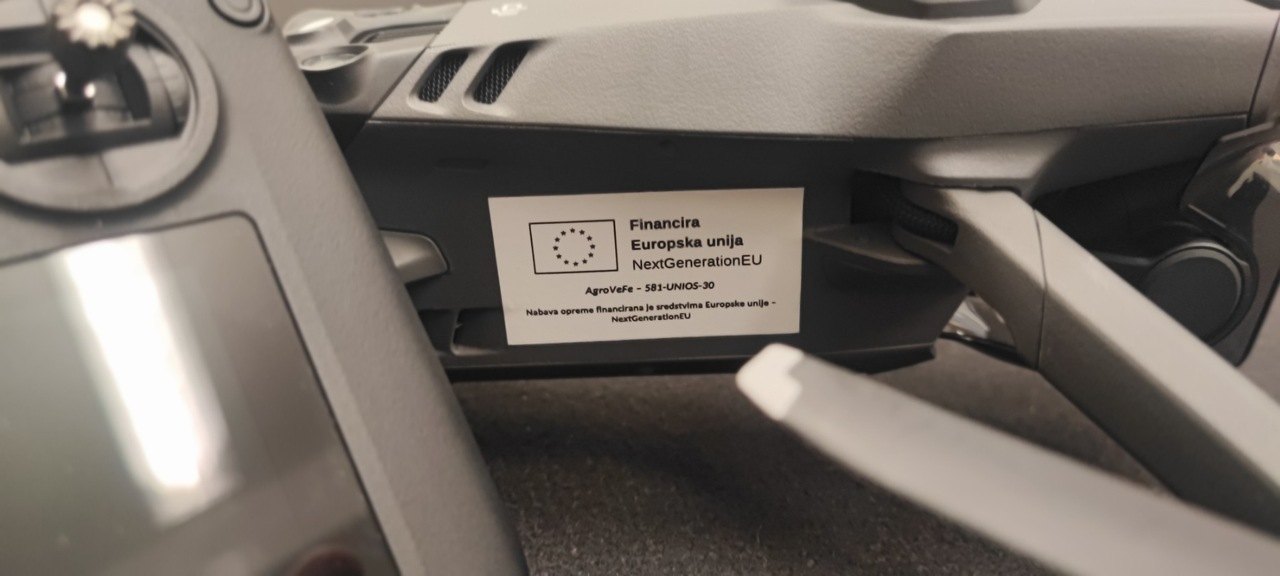
AgroVeFe (581-UNIOS-30) is funded by the European Union – NextGenerationEU through the National Recovery and Resilience Plan 2021–2026.